We drove to the nearby North Battleford Visitor Centre. Small prairie towns always have a few iconic statues and we loved to include them in our "Biggest and Best " photo album.

North Battleford Mountie and his faithful dog Sonaa
Sometimes Emma was my statue muse and sometimes Sonaa beat her to it.
Sonaa was feeling photogenic this morning and promptly posed before both statues.
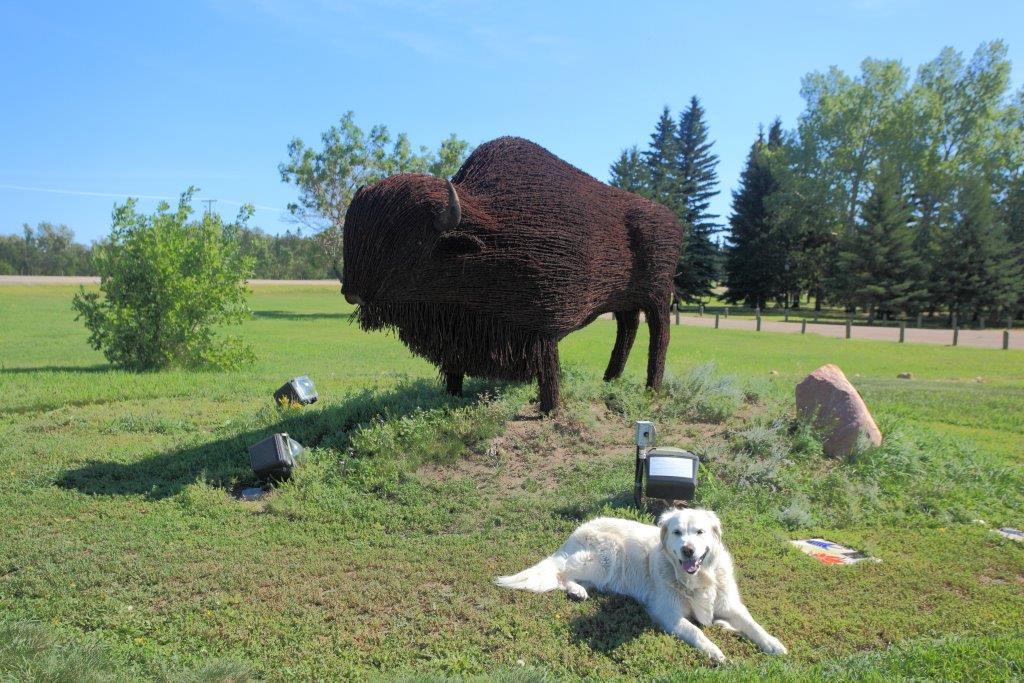
Barber wire Bison statue and Sonaa
In short order, we were headed west along Highway 16 to Lloydminster. One of the claims to fame of Lloydminster was the fact that the Alberta and Saskatchewan border went right through the middle of the city.

Alberta and Saskatchewan Border Markers
Tall Red Pillars marked the provincial border so that you knew which province you were in when you went shopping or driving in Lloydminster.


Sonaa in Alberta with one paw in Saskatchewan.
After a short inter-provincial promenade we continued west to Elk Island National Park.

Elk Island National Park is about 48 kms east of Edmonton. It is a unique national park as it is surrounded by a two metre fence which restricts the movement of large animals in and out of the park.
This is particularly important because of the two large bison herds. Highway 16 divides the park in two; Prairie Bison are kept north of the highway and Wood Bison are kept south of the highway.
The high fence prevents the two different bison species from interbreeding or wandering onto adjacent farmers fields.

On a previous trip, we hiked in Prairie Bison territory so this time we took the trail through the Wood Bison forest. This trail wound through a densely wooded forest of aspens with the occasional open area.

The level hiking was easy but the Wood Bison were nowhere to be found.

The views were limited by the dense forest but the wildflowers along the trail were fun to look at.

Goldenrod

Great Northern Aster
On this warm sunny day, the Wood Bison were well hidden and we didn't see a single one.

White-thoated Sparrow
This White-throated Sparrow was the only forest denizen that broke concealment to look at us.

Having gotten our aerobic workout we carried on to Edmonton.
August 3
Early next morning we continued to Jasper National Park. It took us most of the day to get there as Jasper is 400 kilometres west of Edmonton. The route is mostly forested with a few towns along the way.

East Entrance to Jasper National Park
I always liked the east entrance to Jasper. The mountains rise majestically above the forest as you wind your way through the pass into the Athabasca River valley.

You know you are in Jasper when the traffic is stopped by Mountain Sheep wandering across the highway.

Along the side of the road you often see Bull Elk resting or grazing.

Bull Elk

Rocky Mountain Elk
Emma was a good sport as I ended up leaning across her to shoot through the passenger window. In this case, I used my small wide-angle lens because the wildlife was being overly cooperative.

As was often the case in Summer, all the regular Jasper campgrounds were full. However, we were happy to dry camp and found a suitable location at the Snaring River overflow campground.

Snaring River Campsite
As the sun set we had a short walk around our campground.

View from the Snaring River Campground
August 4
First thing in the morning we booked into the Whistlers Campground. This is the premier camping location in Jasper.
Next on the agenda was a drive up to Maligne Lake so we could go on a long hike. It was 44 scenic kilometres up the Maligne Lake road to get to our destination.
Road to Maligne Lake
Half way to Maligne Lake, we stopped to take in the scenic beauty of Medicine Lake.

Medicine Lake
During the summer, glacier melt water fills the lake. However, in winter it becomes a mud flat as the water disappears out a sink-hole in the bottom of the lake. The water continued underground through a cave system before resurfacing 16 kms downstream in Maligne Canyon.

Medicine Lake
Refreshed from our stop at Medicine Lake we continued upward.
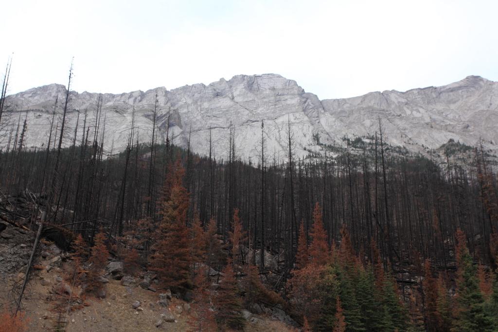
Thrust fault mountains on the way to Maligne Lake

Maligne Lake
Maligne Lake was beautiful. However, today the cloudy overcast weather was not co-operating.

Canoe on Maligne Lake

Common Loon
First, we took the 3.2 km Mary Schaffer Loop Trail which led along the shores of Maligne Lake.

Maligne Lake
Nicely warmed up, we switched over to the much more challenging 8.2 km Opal Hills trail.

Meadow at the start of the Opal Hills Trail
The Opal Hills trail started off through a pleasant meadow before ascending through several kilometres of spruce forest.

This trail was steep as we followed switchbacks upward to the beautiful panorama at the top of the Opal Hills.

Opal Hills Trail
I've done this hike before and wanted to show the view to Emma.

Opal Hills
The alpine meadows of the Opal Hills are spectacular.

View of Maligne Lake from the Opal Hills
However, on the way up I over did it. My pulse was bouncing around like a yo-yo as we approached the top of the trail. After a long rest we took our time on the way back down.

Back in the RV I had a long afternoon nap then slowly traveled back down the Maligne Lake road.

The setting sun was reflecting off Mount Edith Cavell as we arrived at our Whistlers campground.
August 5
Each day was a new experience. This morning it was cloudy, foggy and pouring rain. The weather canceled our plans to take the gondola up Whistlers Mountain.
Instead we drove into Jasper townsite so I could take a picture of Emma with Jasper the bear.

Jasper Visitor Centre

Emma and Sonaa hanging out with Jasper
Given the weather it was a good day to travel so we headed to British Columbia.

Mount Robson Visitor Centre
We stopped at Mount Robson Visitor Center and enjoyed the video about the mountain. On a nice day Mount Robson is spectacular as it rises majestically above the visitor centre, but today all you could see were clouds.
At Valemonnt, we stopped at the Cranberry Marsh. The rain let up briefly which enabled us to make a quick excursion into this delightful marsh.

Cranberry Marsh
The marsh was full of nesting birds so I had a great time photographing the ducks and rails as they peeked out of the reeds.

Sora

American Coot - Immature

Cedar Waxwing

Sonaa was trained not to chase birds but she was very interested in the muskrat that swam by.

Muskrat
The rains returned so we spent the rest of the day driving south. By sunset, we had left the forest of east central BC behind and were in the open range grasslands by Merritt.
August 9
Given our many long driving days, traveling from Merrit to Vancouver was a cake walk.
The misty mountains around Hope greeted us as we descended into the Fraser Valley.

Misty Mountains near Hope BC
See our Flickr web site for an overview of all the North American National Parks we have visited.
https://www.flickr.com/photos/dawncoyote/albums
You can also google DawnCoyote. It should be the first link that shows up.
Go to the album page to see all the USA and Canadian National Parks in alphabetic order.
Great photos once again!
ReplyDelete